I tried out two new circuit trails today. Neither are new at all. In fact both send you part of the way on old dirt tracks that were used centuries ago. But they were new to me!
As usual, my bible is FFRandonnée’s Topo-guide to the Morbihan. I cannot say enough about these detailed guides. We used them hiking the GR20 in Corsica and I use them almost daily in Brittany. The only downside is that they are only published in French. But if you’re not a French speaker, I still think the maps will be useful. Sometimes the text is a bit confusing anyways!
Erdeven
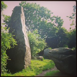
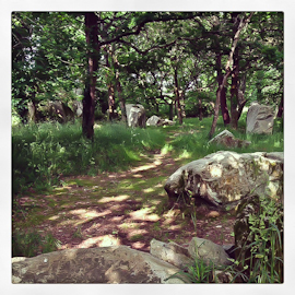
Erdeven may not be as famous for its megaliths as neighboring Carnac, but I found these less-visited menhirs much more enchanting. Park in the lot off the main road (you can’t miss the menhirs as you are driving by) and take the short walk away from the road to the largest of the menhirs here, the Géants de Kerzerho. The topo-guide then leads you in a circuit that loops back through Erdeven’s center on the GR34 (just under 2 hours) or a figure-8 if you choose to do both circuits (about 3 hours). Discover “secret” megaliths as you make your way on the old dirt roads through the dense forests. The coastal walks in the area are beautiful, but it’s nice to have a change of pace once in a while. This walk even leads you through the grounds of a chateau (no longer there) that have been turned into a public park. Again, I recommend getting the Topo-guide, but essentially for the 1-circuit loop, start by following signs to Kerzerho then Mané-Braz, then when you hit the 4-way intersection of trails, hang a left and follow the red and white GR34 markers through Kercadio and ultimately follow signs back to Erdeven.
Saint-Cado & Belz
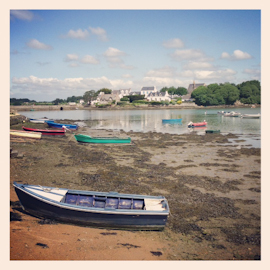
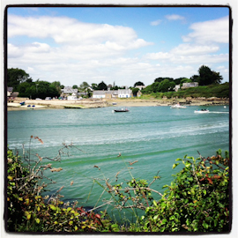
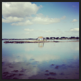
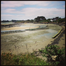
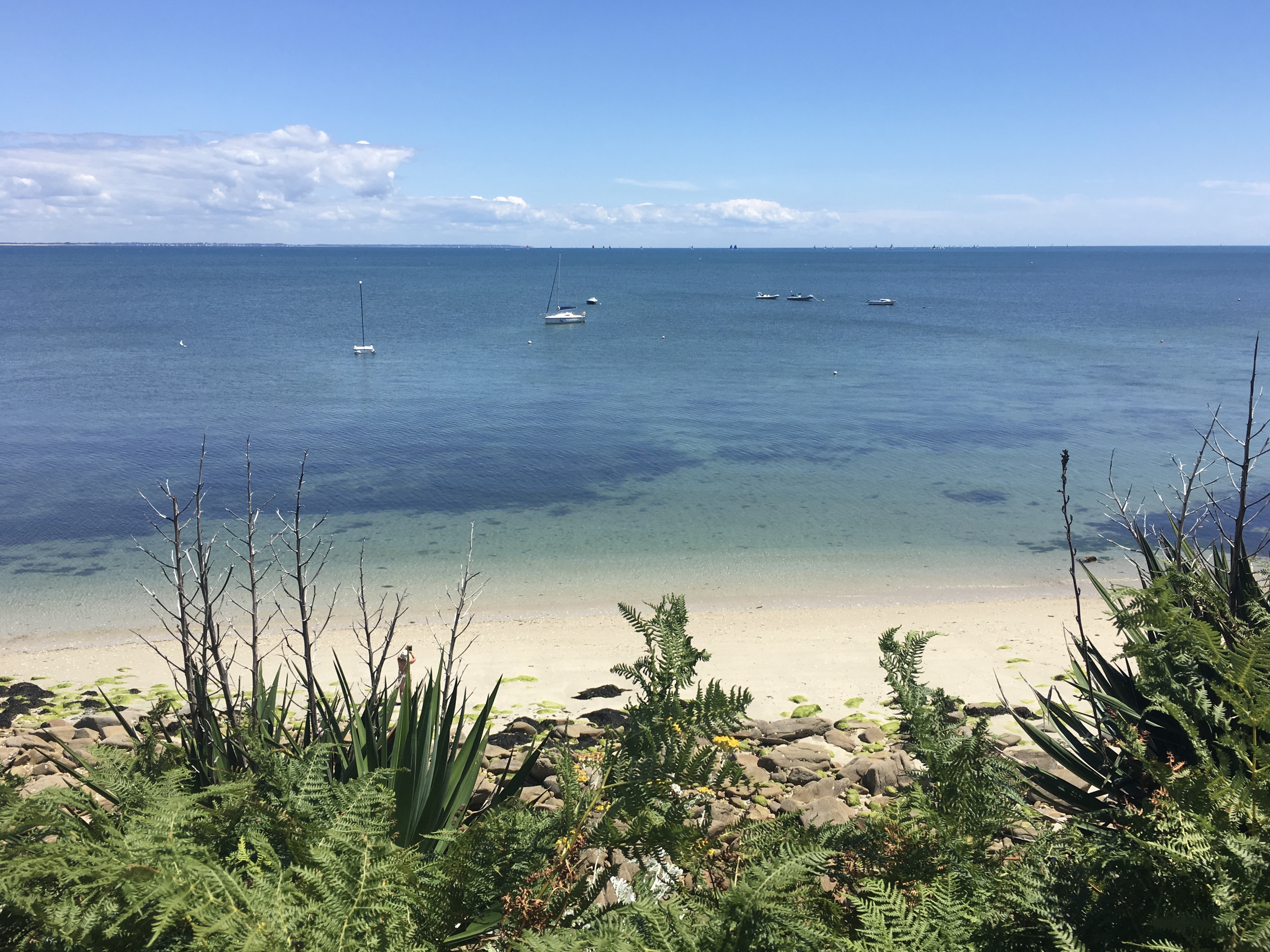
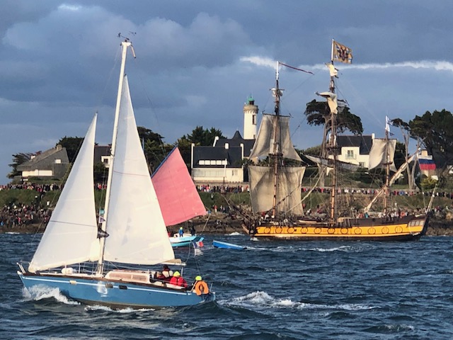
I had done the coastal walk from Ile Saint-Cado south a number of times before, but always ended up backtracking or taking the rather unpleasant main road back to my car. This time, with the help of the Topo-guide, we made a 2-hour loop from Port Niscop (just south of the Pont Lorois (bridge) and part of the commune of Belz, as is Saint-Cado). You can start in Saint-Cado if you like, and wind your way through pleasant neighborhoods following the red and white GR34 markers. But this adds 30 minutes to each end of the loop and you can just as easily visit Saint-Cado (an absolute must!) then drive over to Port Niscop to start the loop trail. The Topo-guide is again a must, but here is the quick summary: Park at Port Niscop and take the dirt trail that leads uphill from the center of the port area. At the top, turn right and bear left through the hamlet. Follow signs for Larmor, then once in Larmor for Bignac. This leads down a long dirt track through the woods. When you can see the coast, take a sharp right and follow the red and white GR34 markers all the way back to Port Niscop.